Surveying the Watershed of Moose Pond in Bridgton, Denmark and Sweden, Maine

Sparkling Messalonskee Lake in Maine’s Belgrade Lakes Chain
May 14, 2010
Out and About for the Greater Belgrade Lakes Region of Maine, May 20 to 26
May 19, 2010Surveying the Watershed of Moose Pond in Bridgton, Denmark and Sweden, Maine


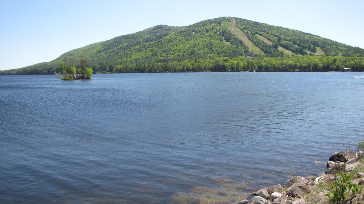
Moose Pond’s middle basin at the foot of Pleasant Mountain and Shawnee Peak Ski Area
The Moose Pond Association (MPA), in conjunction with Lakes Environmental Association (LEA) and Cumberland County Soil and Water Conservation District (CCSWCD), recently held a training session to conduct a watershed survey on Moose Pond, located in Bridgton, Sweden, and Denmark, Maine.
Search for lakefront properties on Moose Pond in Bridgton, Denmark and Sweden
Healthy watersheds are the main goal for a healthy environment and economy. Phosphorus is an important nutrient that occurs in different forms throughout the environment. Excess phosphorus in aquatic systems, however, can lead to over-fertilization in a lake or stream. This over-fertilization can result in an overabundance of aquatic plants (algal bloom) which in turn can deplete oxygen from the water through the decay process. As water quality declines and habitat is damaged, lakefront property values decline, which affects individual landowners and the economics of the entire community.
Developed watersheds mean vegetation has been removed and the land smoothed out for homes, lawns, driveways and roads. Five to ten times more phosphorus comes from developed watersheds. In contrast, forested watersheds filter storm water naturally through pine needles, leaves and other vegetated buffers which slow runoff.
You may have heard of non-point source (NPS) pollution. NPS pollution comes from a variety of sources. You can’t point to it like point source pollution, which is discharged from pipes. Erosions, pesticides and toxins are all examples of NPS pollution, which are picked up by stormwater runoff and carried to the lake.
A watershed survey is a volunteer effort to identify sites of runoff and erosion. Volunteers are trained to conduct a field survey and identify sites to be fixed. For the Moose Pond survey, Heather True, project manager of CCSWCD and Wendy Garland, grant administrator for Maine DEP, conducted the training.
Ten teams were assigned a section of the watershed. All 1,400 landowners had previously received a postcard explaining the survey and had been given the option to have their property excluded.
The goal was to identify sources of erosion, i.e. exposed roots and stones, road ruts, bare soil, accumulated or transported sediment and deltas in the pond. For the most part we spent less than fifteen minutes at a site, noted roof run-off and any other problems, identified the site on a tax map, took photos and GPS readings, wrote a brief description of the problem and described fixes.
Fixes include directing runoff to stable vegetation by creating meandering footpaths to the pond, installing a drip edge trench along the drip line of a house without a gutter, using a rain barrel to capture water, planting vegetated buffers, crowning a road or driveway, installing runoff diverters such as rubber razors or open-top culverts, etc.
A watershed survey is not a finger-pointing experience. Instead, it’s meant to be an overall review of the area with the common goal of preserving long-term water quality. Once the survey is completed (we have one month to do this) and a report is written, the Moose Pond Association and Lakes Environmental Association will work with the DEP to seek funding from Grant Section 319 of the Clean Water Act to fix high impact sites.
Heather True noted that Maine has the cleanest lakes in the nation. That’s great news, but we all, lakefront and in-land property owners, need to work together to continue to protect them.
